The Solution
HAGES Architecture
A fully integrated, multi-modal robotic network engineered to shatter the endurance wall. The rover acts as a mobile base, transporting the UAV deep into the hazard zone for repeated, high-value sorties.
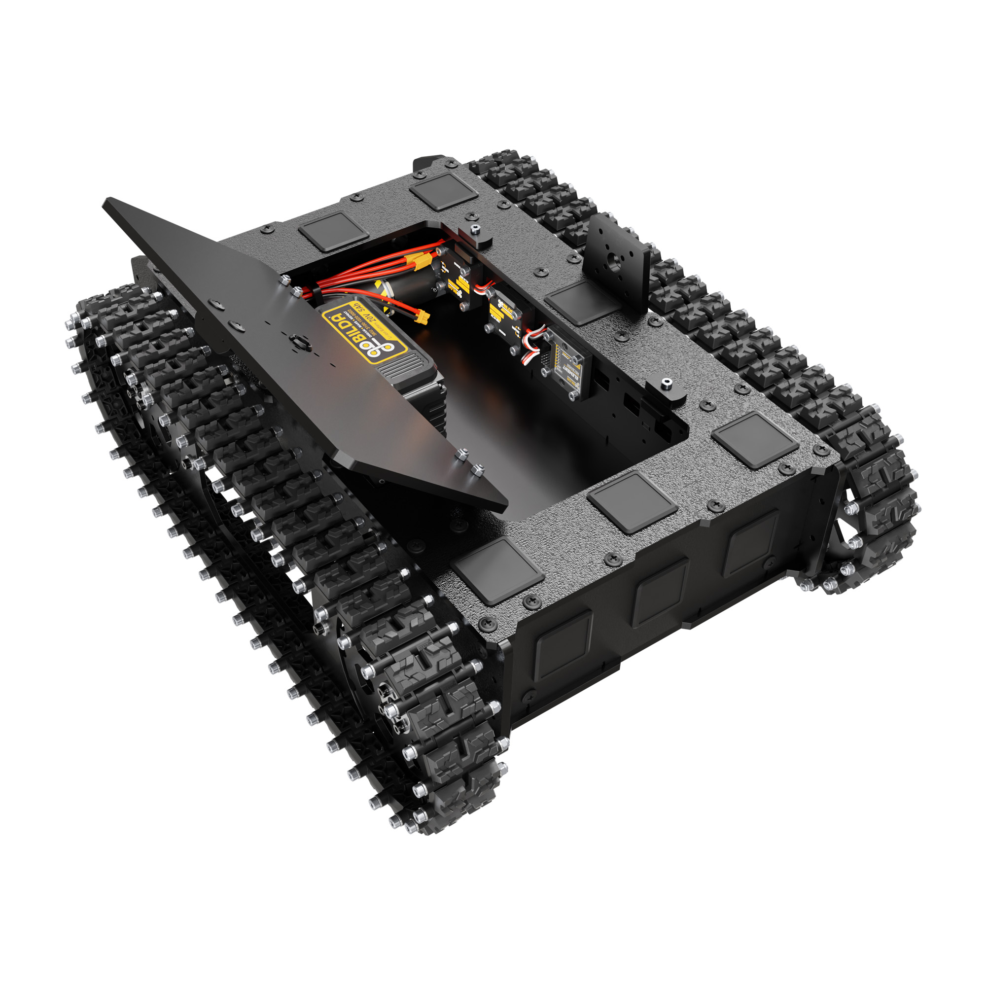
Ground Segment
A tracked crawler base built for uneven terrain and rocky inverts. It transports the aerial asset, houses the primary computing payload, and carries a massive 24V energy reserve.
View Tech Specs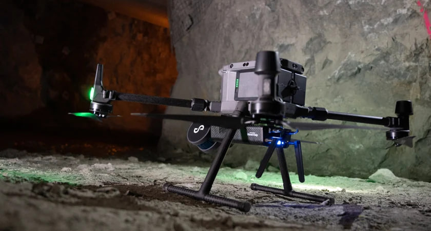
Aerial Segment
An industrial quadcopter modified for turbulent underground airflows. It utilizes SLAM autonomy to navigate, avoid obstacles, and map complex vertical geometries without GPS.
View Tech Specs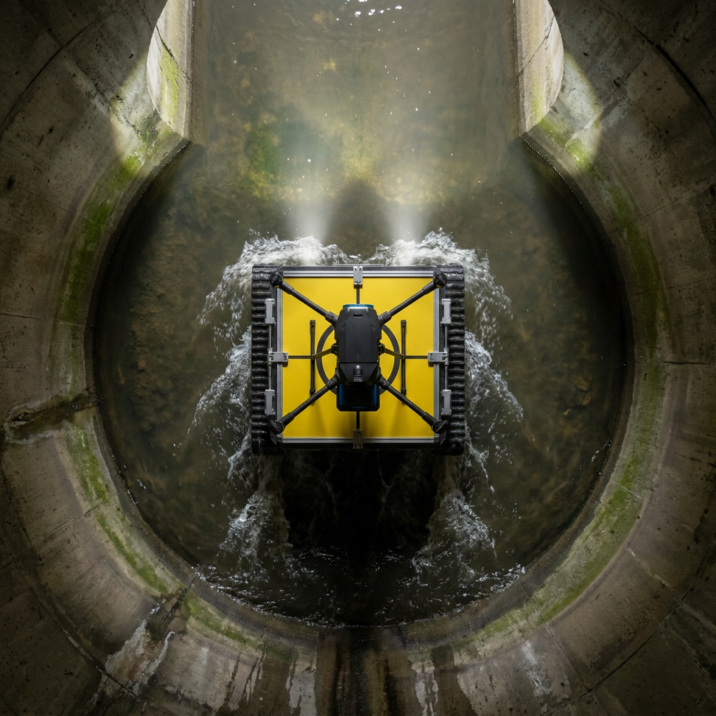
Mid-Mission Recharge
The core breakthrough. The UAV autonomously lands on the rover, locks into place, and wirelessly recharges its batteries before launching deeper into the environment.
Explore Integration