The Hybrid Advantage
Overcoming the fundamental limitations of subterranean robotics: short UAV endurance and restricted rover terrain access.
Shattering the Endurance Wall
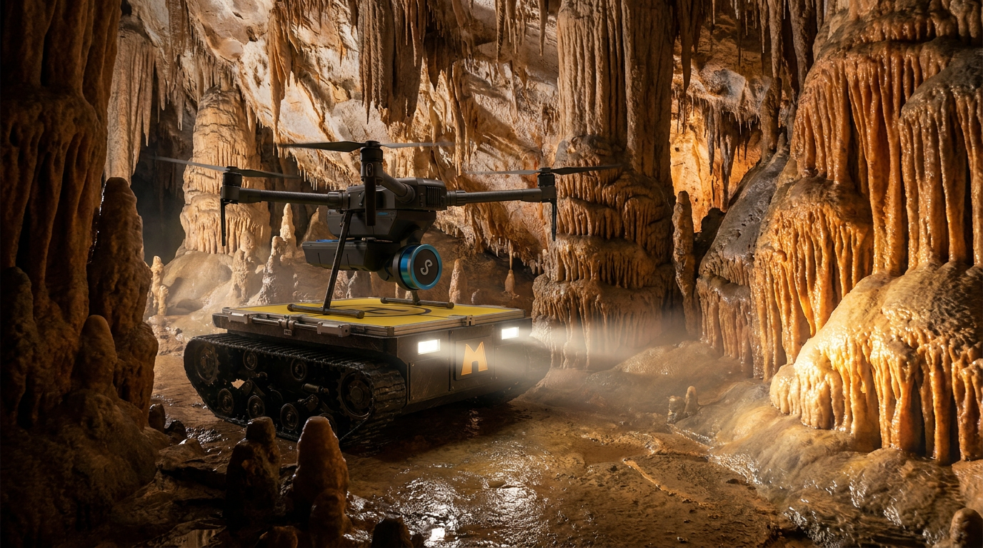
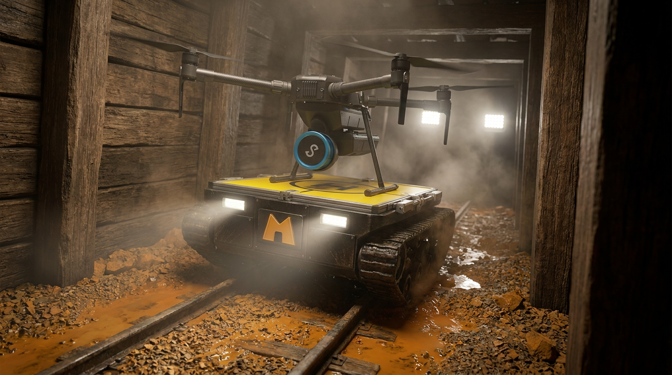
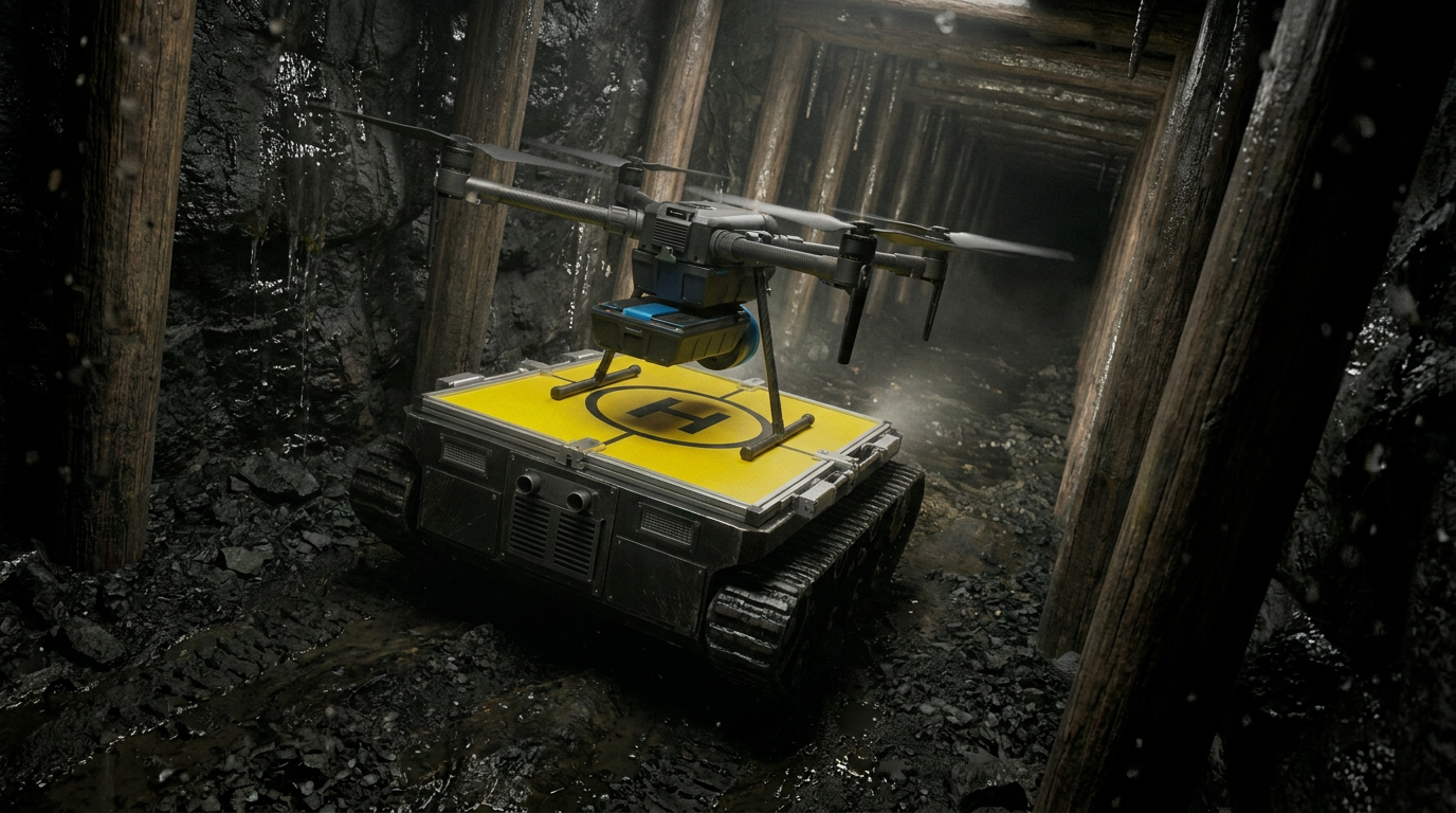
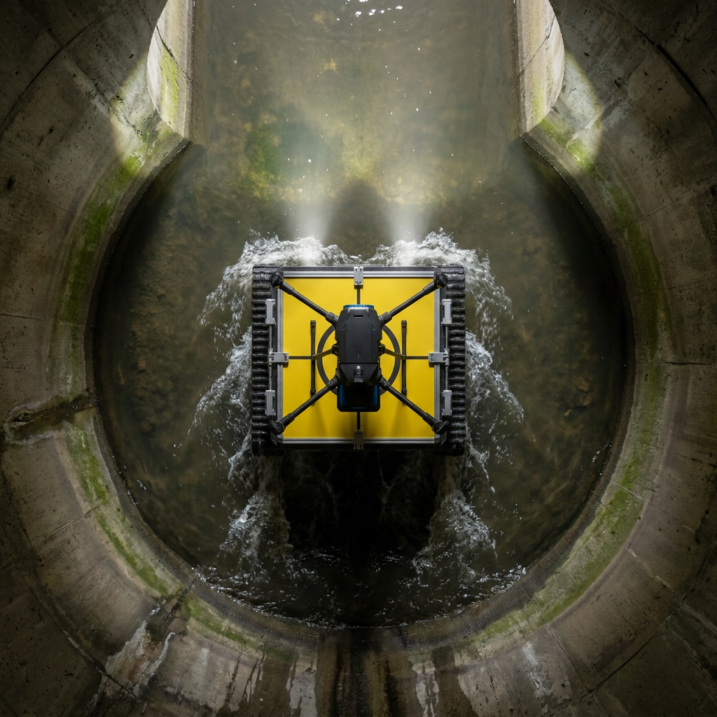
Standalone drones are optimal for mapping vertical stopes and complex voids, but hit an endurance limit at a range of ~150 meters. Standalone rovers possess the battery capacity to travel deep underground, but suffer a 56% capability loss over rough terrain and cannot inspect elevated vertical structures.
HAGES merges these capabilities. The rover acts as a persistent mobile staging base, transporting the UAV deep into the hazard zone. The UAV launches for high-value localized mapping, then autonomously docks back onto the rover to recharge. This cycle repeats, maintaining a 90% operational capability even at 500m penetration depths.
- Deployment Target GPS-Denied, Hazardous Subsurface Environments
- Core Deliverable Survey-Grade 3D Digital Twins & Engineering Analysis